Afghanistan Bomb Hunters
A Geographic Exploration of Landscapes shaped by Conflict and Courage
Afghanistan is a country where mountains and sky meet, where deserts and highlands merge, and every valley has a unique story, carved out by culture, time and conflict. Afghanistan is one of the world’s most heavily mined nations. Afghanistan has been ravaged by war for decades. Its cities and landscapes are scarred, but there are also dangers hidden beneath the soil. Landmines, unexploded ordinance (UXO) and improvised bombs (IEDs), which are all part of the terrain in Afghanistan, have become a permanent feature.
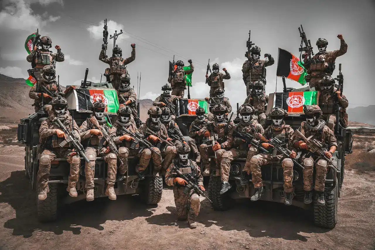
Bomb-hunters are those who put their lives at risk to eliminate these threats. Many of these men and women are Afghans who have been trained by international and local demining organisations. They work every day to restore safety in their homeland. They work in a wide variety of terrains: arid plateaus and river valleys; stepped farmlands; jagged mountains with snow-capped peaks watching silently on communities below. Each region has its own challenges. Together, they create a mosaic of landscapes that frame the vital but dangerous work of demining.
This article examines the work of bomb hunters through a geographic lens. It looks at how Afghanistan’s physical characteristics shape its daily lives and, in turn, how they are reshaping it.
1. The Natural Landscape of Afghanistan: A Topographic Battlefield
Afghanistan’s geography and history are both complex. It is a country dominated by mountains–the Hindu Kush in particular–sprawling from the northeast to the southwest like a giant stone backbone. The mountains separate not only climates and regions, but also cultures and communities.
The valleys of rivers like the Helmand, Kabul and Kokcha are fertile farming lands. Deserts such as the Registan and Dasht-e Margo, which stretch across the southwest of the country, are harsh in both a geographical and climatic sense. These are a mix of high plains and rolling foothills as well as remote pastoral zones, where nomad groups have been moving for centuries, guided only by seasonal patterns and ancient knowledge.
This terrain variety has historically provided both a strategic advantage and a place of refuge during conflict. This terrain has determined the location of explosives buried, sometimes intentionally, during battles, defensive operations or other times accidentally, when fighting moved on.
Bomb-hunters are guided by geography in their movements. The hardness of the desert floor or the density in a walnut tree can influence the way bomb-hunters search for mines.
2. Highland Hazards in the Hindu Kush and Northeast Regions
In the northeastern part of Afghanistan, towering mountains dominate the skyline. With peaks reaching over 7,000 meters high, the Hindu Kush is more than just a mountain range. It’s a feature of Afghan identity. For centuries, these mountains have been a natural fortress, influencing migration, warfare and settlement patterns.
Working on the Edge of the Sky
These highlands present a number of challenges for bomb hunters. Mines can move over time due to the steepness of the slopes. Snowmelt can carry UXOs from higher elevations down to lower villages, creating dangerous zones. Insurgents often target narrow mountain trails, which are lifelines for rural communities. They used to plant IEDs to impede movement.
Mountaineering and technical skills are often equally important for demining teams working in the highlands. Many sites are only accessible by long hikes with heavy equipment. The thin air and extreme weather conditions cause shorter work shifts, but also increase the need for accuracy.
Villages entwined with terrain
Highland communities cluster in river valleys or cling to the terraces cut into mountainsides. These terraces can be mined and pose a danger to farmers who depend on them for the cultivation of wheat, barley and fruits. The bomb-hunters must work closely together with the locals, who have a thorough understanding of every slope, ravine and footpath. This helps them to identify suspicious areas.
3. Central Highlands: An Isolated Landscape of Resilience and Isolation
Windswept plateaus, rugged ridges, and wind-swept plateaus are characteristic of the central highlands. The winters are harsh and long, cutting off whole districts for several months. This isolation has contributed to the relative autonomy of this region and its involvement in different periods of conflict.
Geography: An obstacle and an opportunity
Landmines are often placed along chokepoints, such as passes, bridges and narrow plains, where movement is easiest. Bomb-hunters are faced with a unique challenge when snow is covering these areas: mines may shift or be hidden under layers of ice, which sensors cannot penetrate.
The openness of these high plateaus can also bring moments of clarity. The vastness of the terrain allows teams to map and grid search more efficiently.
Winter Dangers
During the thawing season, mines can sometimes be seen at the surface. This makes them easier to detect and also more unpredictable. Bomb-hunters are constantly remapping terrains, which change dramatically each season. It’s almost like the land rearranges itself.
4. The Registan and Dasht-e Margo
The southern deserts in Afghanistan are a completely different geographical challenge. These vast, open and sparsely populated areas appear empty at first sight. Under their sandy floors, however, are countless remnants from decades of conflict.
Shifting Sands, Shifting Threats
Sandy soils have a dynamic nature, unlike the mountainous terrain. The wind can shape dunes, bury mines or expose them within hours. Bomb-hunters must sometimes walk across terrains that change so rapidly that maps from the morning are no longer relevant by the afternoon.
Metal detectors can struggle to detect metals in soils rich in minerals. Some teams use specially-trained dogs, whose keen sense of smell allows them to penetrate the sand layers more effectively than machines.
Extreme conditions and long distances
Convoys with fuel, water and backup vehicles are needed to reach minefields. The temperatures can rise above 45 °C and pose a challenge to both animals and humans. Heat can make explosive components more unstable or sensitive.
The importance of clearing deserts is not to be understated. These lands have been traversed by nomadic tribes for centuries, as well as military caravans and trade routes. Restoring their safety helps to revive traditional economic and movement patterns.
5. The North and East
Northern Afghanistan has some of the most fertile land in Afghanistan, with rolling hills, river-fed flats, and orchards full of almonds, pomegranates, and rice. These fertile landscapes were also the scene of intense combat, making them some of the most mine-contaminated regions.
Fields of Hidden Danger
Every step farmers take into their fields is fraught with uncertainty. Some mines were planted to protect military positions and supply routes, while others were thrown in haphazardly when retreating. In these areas, bomb-hunters often work with families who are desperate to get back to their livelihoods.
The soil is much softer here than in deserts and mountains, with dense vegetation. Bomb-hunters regularly clear irrigation channels and orchard flooring, areas where devices could be hidden beneath leaves, roots or loose soil.
Rivers, Floodplains and Floodplains
The northern provinces face a major geographic challenge: flooding. Seasonal floods can carry explosives downstream, causing them to be deposited in unpredictable places along riverbanks and agricultural fields.
After floods, bomb hunters are often required to conduct surveys to trace new deposits and mark fresh hazards. Their work helps to prevent accidents for local children playing near waterways or farmers planting new crops.
6. Urban Geographies: Cities rebuilt on unsteady foundations
While rural Afghanistan has the majority of minefields to contend with, urban areas such as Kabul and Kandahar have also had their challenges. UXO is often buried under construction sites, roads or former frontlines which have now become bustling urban districts.
Risk and Urban Density
In cities, the geography is a human creation. Streets, foundations and drainage systems are all layers that can conceal explosives. In these zones, bomb hunters often work with construction crews and engineers to clear paths for new roads and schools.
Their work is not limited to removing bombs, but also enables urban development. Every street that is cleared can be transformed into a market, and every schoolyard can become a safe place for children to play.
7. Tool of the Trade: Navigating geography with technology and tradition
The bomb-hunters mix modern technology with traditional knowledge. Their work is based on metal detectors, ground penetrating radar, protective equipment, and controlled explosion equipment. Residents’ memories of where battles took place, military posts or unsafe paths are also important.
Teams sometimes use donkeys in mountainous areas to transport their equipment. In deserts, camels carry supplies. Wooden boats can be used to reach areas that are cut off from the water in wetlands and riverside zones.
The choice of tool is influenced by geography. And the tools help to translate the dangers on the land into safe zones.
8. Environmental Consequences & the Geography of Recovery
Landmines are not only a threat to people, but they also affect land use. Several regions have been left abandoned due to contamination. It has ecological effects: in some places, wildlife returns due to human absence, while others are affected by habitat fragmentation because of fenced-off minefields.
Bomb-hunters can help reverse this trend. Their work slowly reconnects ecosystems by allowing livestock to graze in safe corridors and restoring the land for agricultural productivity. Some cleared areas have been transformed into new parks, markets or community centres.
Slowly, the geography of fear becomes a new geography.
9. Human Geography: Communities living with danger and hope
Landmines have affected families in every region of Afghanistan. Children injured in fields while exploring, shepherds who lost limbs when trailing goats and farmers unable to plant crops are all part of Afghanistan’s human geography.
Bomb-hunters do not just act as technicians; they also protect the community. They educate schools on safety, distribute leaflets, mark dangerous zones and train locals how to recognise warning signals. They combine geography, education and humanitarian service in their role.
10. The Healing Landscape
Afghanistan’s terrain is majestic as well as unforgiving. The mountains, deserts and valleys of Afghanistan are scarred by decades of conflict. Yet, they still show remarkable resilience. Bomb-hunters are at the intersection of all these realities, moving through harsh terrains and guided by a commitment to reclaim the land.
Each explosive device that is removed is not just a threat defused, but also an act of restoration. It restores a field to the farmer, a road to the traveller, a play area to a kid, and peace to an area that has seen too many wars.
The work of these women and men is a testament to the courage that geography has shaped. As Afghanistan continues on its journey towards stability, its efforts are a testimony to the courage that geography has moulded. These efforts etch new narratives in the land, not ones of conflict or contamination, but rather those of hope and recovery.