World War II has often been remembered through the lens of political ideology and military strategy. Underneath the uniforms and flags of the war, a more powerful force was at work: the geography. Land, air, water, and climate played a vital role in the direction of the war. The geography of the world shaped modernity. From the steppes in Russia to the deserts in North Africa.
This post examines the Second World War as more than just a historical event. It is a global geographical phenomenon that reshaped borders, changed landscapes and tested human mobility and environmental endurance.
From Local Battles to Global War
World War II did not take place in a single theatre. The war spanned continents and oceans with battles in Europe, Africa and Asia. It was a space and distance war, with supply lines, front lines, chokepoints, and vast, uninhabitable areas.
Many geographers view WWII as “strategic geographic warfare.” Why did Japan require oil from the Dutch East Indies (now Indonesia)? Why did Hitler launch Operation Barbarossa during the summer of 1941? Why was Normandy selected for D-Day? There is a geographical answer to each of these questions.
Global positioning is a key factor in determining advantage. The English Channel protected Britain as an island nation and relied on maritime power. The vastness of the Soviet Union created a defensive depth. Two oceans shielded the U.S. from attack, and it became a logistical and industrial powerhouse.
Geographical boundaries determined who could move, where supplies would go, and which territory was worth fighting for.
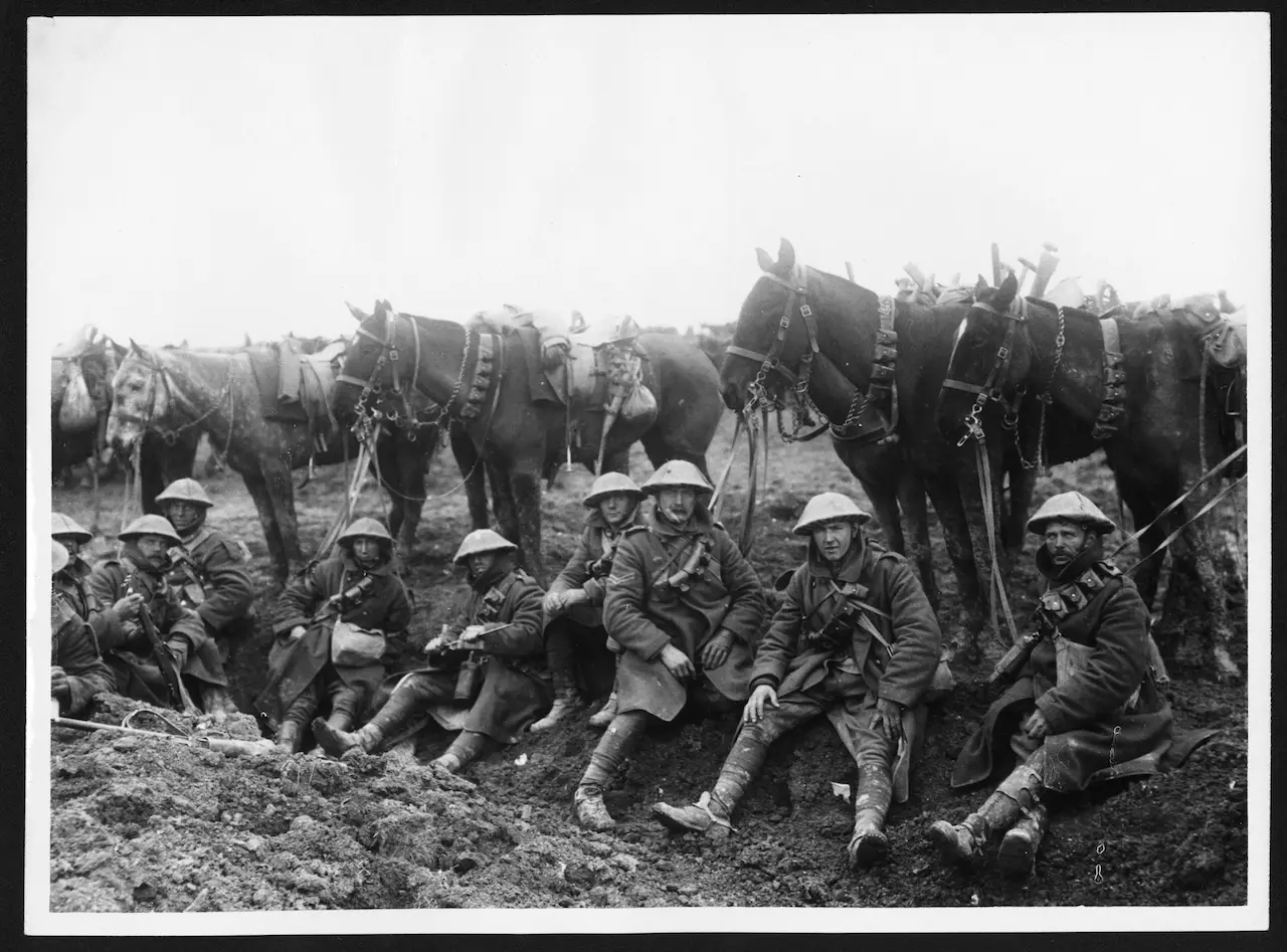
Eastern Front – The Russian Steppes, and the Curse of Distance
Hitler’s war against the Soviet Union taught us an old lesson: Size matters. The Russian steppes were so vast that they clogged up German supply lines and weighed down the troops. The invasion was thousands of kilometres long, through forests, marshes and snow-covered terrain.
The Russian winter was not just a season, but a geographical force. Unprepared for sub-zero temperatures and frostbite as well as fuel shortages and frozen equipment, the German army was decimated by Soviet resistance, but also by frostbite. The land itself was a fighter in many ways.
North Africa – Desert Warfare, and the Battle for Resources
In North Africa, war was a test of endurance against the harsh Sahara. Armies fought not just each other, but the elements, sandstorms, heatwaves, and water scarcity. Here, geography meant control over the Suez Canal – a strategic route between Europe and Asia – and access to fuel.
Desert warfare was based on mobility, supply chain control, and the control of ports such as Tobruk and Alexandria. Rommel’s Afrika Korps, the British Eighth Army, and other forces were not just fighting over cities; they also fought for vital logistical lines.
The Pacific Theatre of World War II
The Pacific War was like a chess game played on thousands of islands. In this theatre, geography was all about isolation and reaching out. The U.S. used island hopping to approach Japan gradually. This involved securing airstrips and bypassing heavily fortified positions.
The control of small islands such as Iwo Jima and Guadalcanal was crucial because they served as stepping stones across the ocean. This enabled aerial bombing runs, disrupting the enemy supply chain. The Pacific’s geography, with its scattered land and vast waters, turned ships and aircraft carriers into mobile fortresses.
Strategic Chokepoints & Geopolitical Hotspots
Not their size, but their strategic location is what makes certain geographic locations so important.
-
English Channel: the narrow sea that protects Britain and hosts the most famous amphibious attack in history – D-Day.
-
The Suez Canal is a vital link between the Mediterranean and the Indian Ocean. Whoever controlled the canal controlled imperial supply routes.
-
Strait of Gibraltar: a key naval checkpoint which determined access to the Atlantic or Mediterranean.
-
Singapore was a British naval base that was a prized possession in Southeast Asia. It fell to the Japanese during WWII, causing colonial dominance of the region.
These points were not just dots on a chart. They were also levers of control, controlling trade, access and military reach.
Climate and Weather
Weather and climate played a pivotal role in WWII, despite being overlooked. Poor weather delayed D-Day, and the window of opportunity that arose was dependent on forecasts. The Allies were able to land on Normandy in June 1944 because of a small storm gap.
Typhoons in the Pacific disrupted naval activities. In Europe, rainy seasons turned the fields into mud bogs that halted armoured advance. The Battle of the Bulge was launched in the wintertime in the Ardennes to take advantage of the low visibility.
War planners have to be able to adapt because geography is dynamic and changes with the seasons.
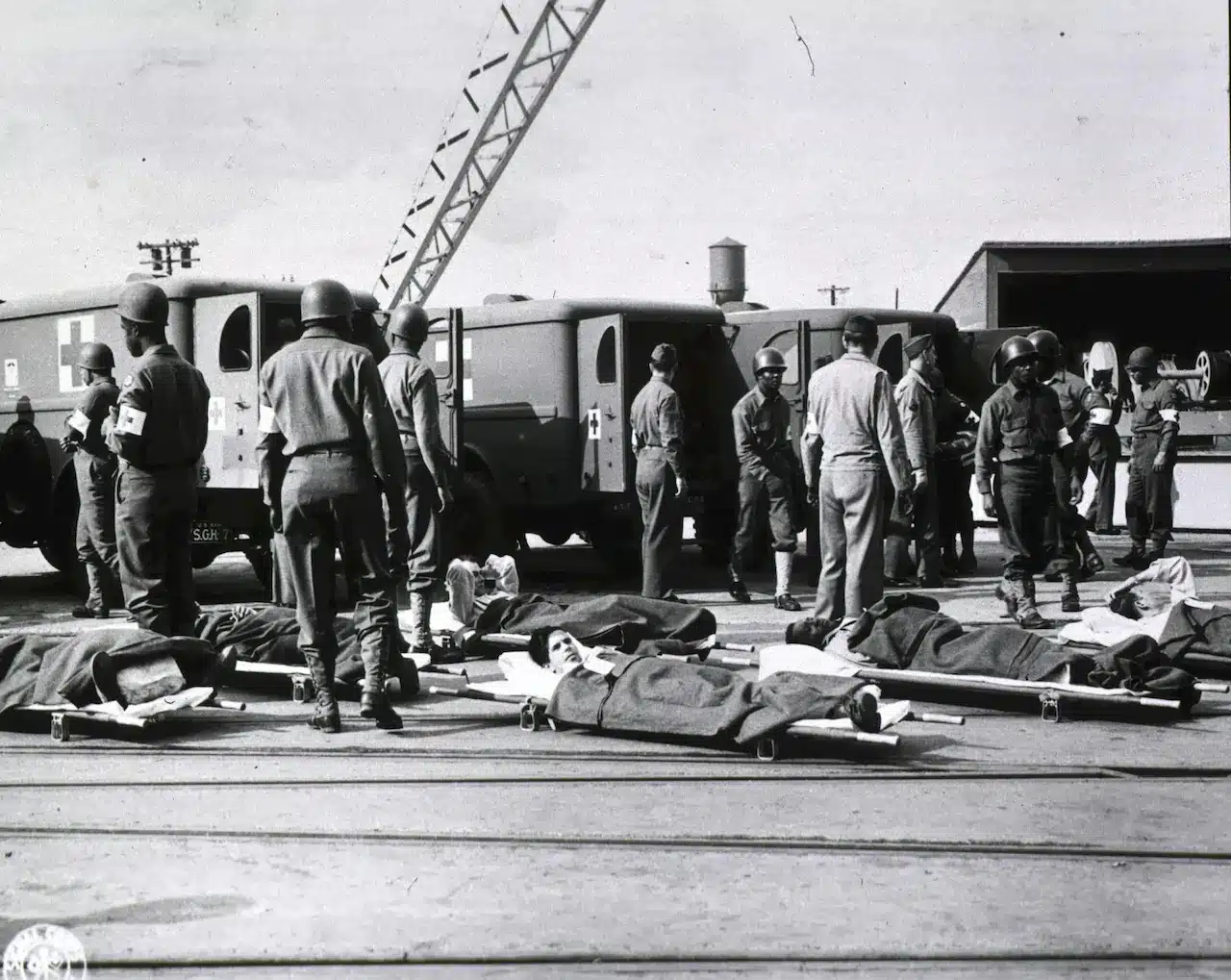
The Human Geography of War
World War II was not only a war of movement, but also a war of people. Refugees and evacuees moved over vast distances. Entire cities have been emptied and borders crossed. Millions of people became stateless overnight.
-
The Holocaust: A tragic geography of forced movements and containment from Jewish ghettos and concentration camps, spread throughout Eastern and Central Europe.
-
Postwar Migration After the war, millions of people were displaced. Germans were forced out of Eastern Europe. Jews fled to Palestine. And colonial subjects were either pushed or sent home.
-
New Borders: The map of Europe has undergone radical changes. Poland moved west. Germany was divided. Under the U.S.A. and Soviet powers, new spheres emerged.
Human geography is not just about where people live. It also explains their movements, how they settle, and the impact of space on identity.
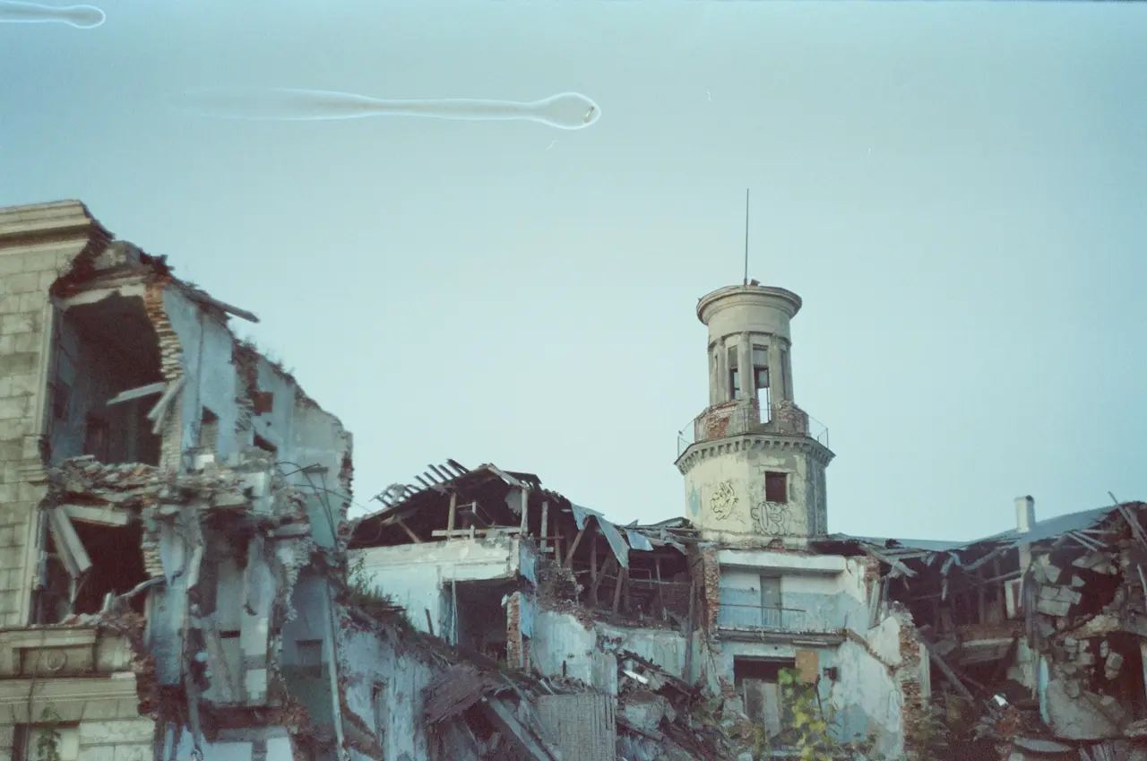
Environmental Scars of War
The Earth is a witness to war. The Earth remembers war. The geography of World War II has left lasting environmental scars.
-
Urban Destruction Cities such as Dresden, Warsaw and Hiroshima have been reduced to rubble. The urban geography was completely rewritten by fire and steel.
-
Toxic legacy: From the chemical weapons used in China to the oil spills that contaminated the Mediterranean Sea, war has altered ecosystems.
-
Radiation Geography: The Hiroshima-Nagasaki atomic bombings not only killed people, but they also changed the environment. They introduced a new layer to geography: nuclear fallout areas.
Even today, WWII continues to shape environmental policies, conservation efforts and debates on warfare’s ecological impact.
Geopolitical Outcomes
The end of WWII did not bring peace to the world, but it marked a new era of global tensions. All three of these events had a geographic dimension: the Cold War, decolonisation and the creation of the United Nations.
-
Germany, divided into East and West Germany, is now a frontline state of a new ideological geography.
-
Iron Curtain: A metaphorical and literal divide in Europe, rooted in postwar geography.
-
United Nations Borders The UN redrew the maps, oversaw the transition to independence and mediated territorial disputes.
Postwar geography aimed to manage a fragmented globe and prevent another apocalypse.
Conclusion
The shape of World War II was not only influenced by leaders, ideologies, or weapons–it also reflected the mountains, oceans and weather. Geography determined how people moved, where battles took place, which resources were worth fighting over, and what societies looked like after the war.
In many ways, the war was an expression of geography. It was a struggle to gain power, place and position in a world in which maps were vital for survival. Without geography, it is impossible to understand the landscape beneath the tanks, or the sky above the cities and the ocean currents that carried the fleets into battle.
Next time you see a world map, don’t just think of its lines and borders. Think of it as a battlefield and as a reminder of the worst apocalypse of human history.